A day at Amberd: the observatory, the fortress and the climb to Lake Kari
There are two reasons to go up to Amberd, and one is the fortress. The other is that the road that leads to it carries on afterwards to the 3,190 metres of Lake Kari, at the foot of the summits of Aragats, and it is the only place in Armenia where you reach high mountains in an ordinary car, in a morning, from a capital where it is 35 degrees. This is the whole excursion, in order, with what there is at each stop.
Up via Byurakan
From Yerevan, 40 minutes to Ashtarak and then the road that climbs through the villages of the southern slope. Byurakan, at 1,400 metres, has the observatory founded in 1946 by Viktor Ambartsumian, the Soviet Union's most famous astrophysicist, with telescopes from the fifties and sixties under white domes among the trees; it is visited in groups and, in summer, at night, by reservation. A few kilometres higher, on a bend, the monument to the Armenian alphabet: the 39 letters of Mesrop Mashtots in tuff blocks, from 2005, put up for the 1,600th anniversary, where every visitor is photographed with their initial.

The fortress
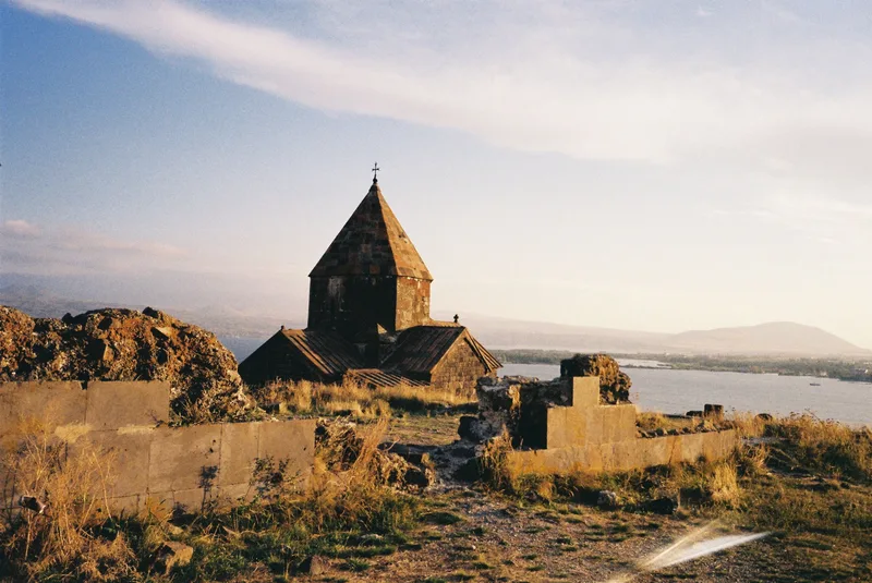
At 2,300 metres the meadow opens out and the castle appears below, on the spur where the Amberd and Arkashen ravines meet. It dates from the 7th century and the Kamsarakan princes, and what you see is mostly the work of the Bagratuni and the Pahlavuni, of the 10th and 11th centuries; the church, Vahramashen, was built in 1026 by General Vahram Pahlavuni. You have to go all the way round: from the car park you go down to the church, enter the castle by the ramp, look at the ravine from the towers, find the baths with their underfloor heating and the remains of the aqueduct, and climb back up the other side. An hour, with views of Ararat, if it is clear, to the south. The wind always blows.
On to Lake Kari
The road continues another 15 km, with no villages, through meadows with flocks and snow until June, to Lake Kari, at 3,190 metres, small and grey, with a weather station, a restaurant serving khash and dolma, and the start of the trails to the four summits of Aragats. The southern one, 3,879 metres, is a four- or five-hour round trip in summer; the others are another matter. Those who do not climb eat, look and go back down; it is the highest point you can drive to in Armenia.
When, what to take and which way back
June to September; in May and October there may be snow at the lake, and the road closes with the first serious snowfall. A jacket, a hat and sun cream, because at 3,000 metres it is cold and the sun burns at the same time. Water and something to eat, in case the lake restaurant is not open. And the return can be by the same road or, if you want to see the other face of the mountain, down the north side towards Aparan and back to Yerevan on the Vanadzor road: that is a circuit of Aragats in a day.
Frequently asked questions
What is Amberd?
A 7th-century fortress, enlarged in the 10th and 11th centuries by the Bagratuni and Pahlavuni, at 2,300 metres on the southern slope of Aragats, with a church of 1026, baths and a wall. The name translates as fortress of the clouds.
How do you get there from Yerevan?
It is 50 km and an hour and a half via Ashtarak and Byurakan, on asphalt road as far as the car park. There is no public transport; you go by car, taxi or organised excursion.
Can it be combined with other visits?
Yes: the Byurakan observatory and the alphabet monument are on the way up, Lake Kari 15 km higher, and Saghmosavank and Hovhannavank in the Kasagh canyon, en route. Returning via Aparan takes you right round the mountain.